HRP: Our story
Part 1: Hendaye - D934
Prologue

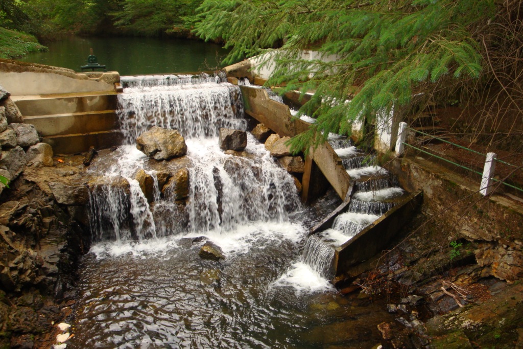
It's already in the afternoon of Sunday August 22nd, 2010 when we reach the campsite in Larune. The campsite where we spend the night is near the swimming pool. First we pitch the tent and have lunch in the shade of a tree. The owner plays quiet loud one CD of Micheal Jackson and the player is repeating the CD time after time.
Later in the afternoon we make a small walk through Larune to see where the buss is leaving next morning. Next morning after breakfast, we break up and walk to the buss stop. Here we take the buss to the train station of Pau. From here we first take the train to Bayonne and then another one to Hendaye. We wanted to leave the train in Hendaye Plage, but this train stop got a new name so by the time we noticed that, the train was already on its way to Hendaye station. From the train station in Hendaye we walk back to find a campsite as close to the route as possible. From the campsite we have a view over the sea and we can even hear the waves.
Tuesday August 24th: Hendaye - La Rhune
Statistics:distance: ca 19 km
up: 1140 m, down: 240 m,
weather: sunny.
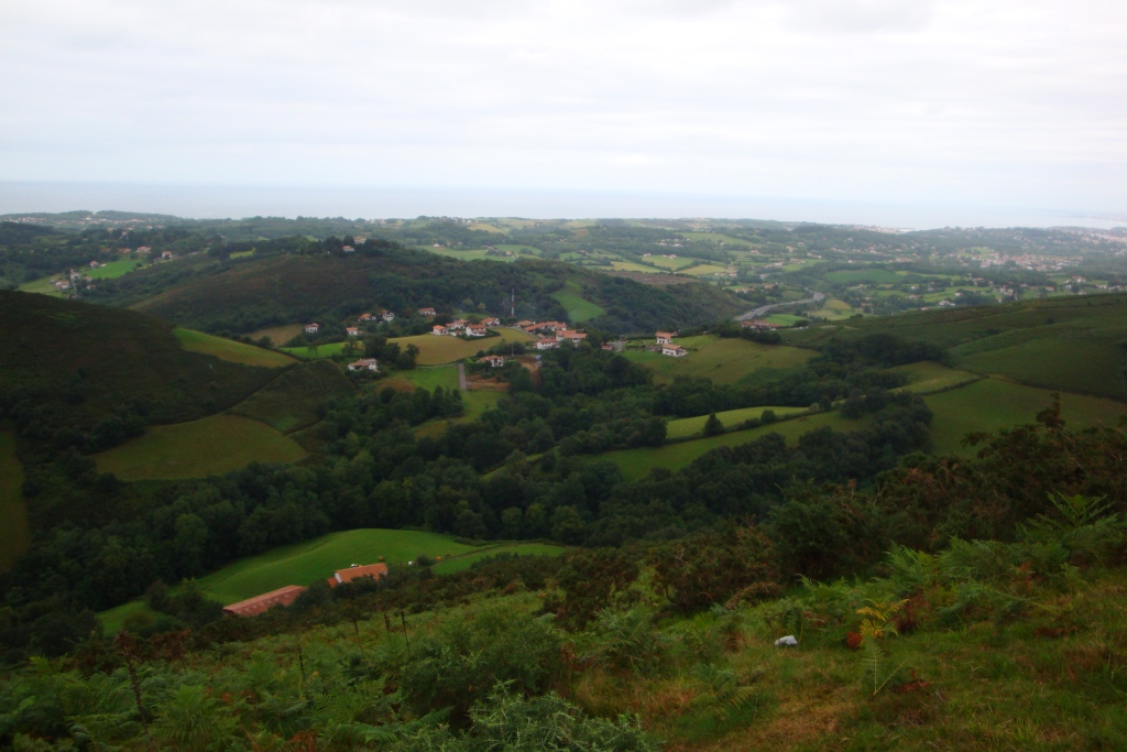
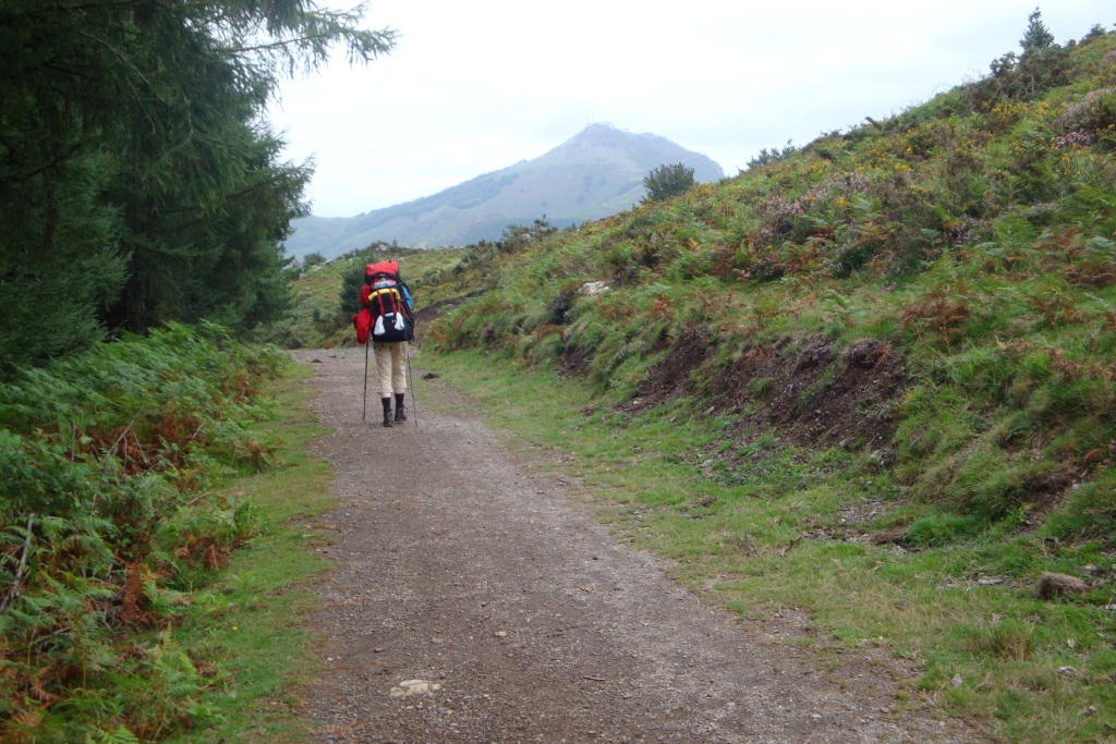
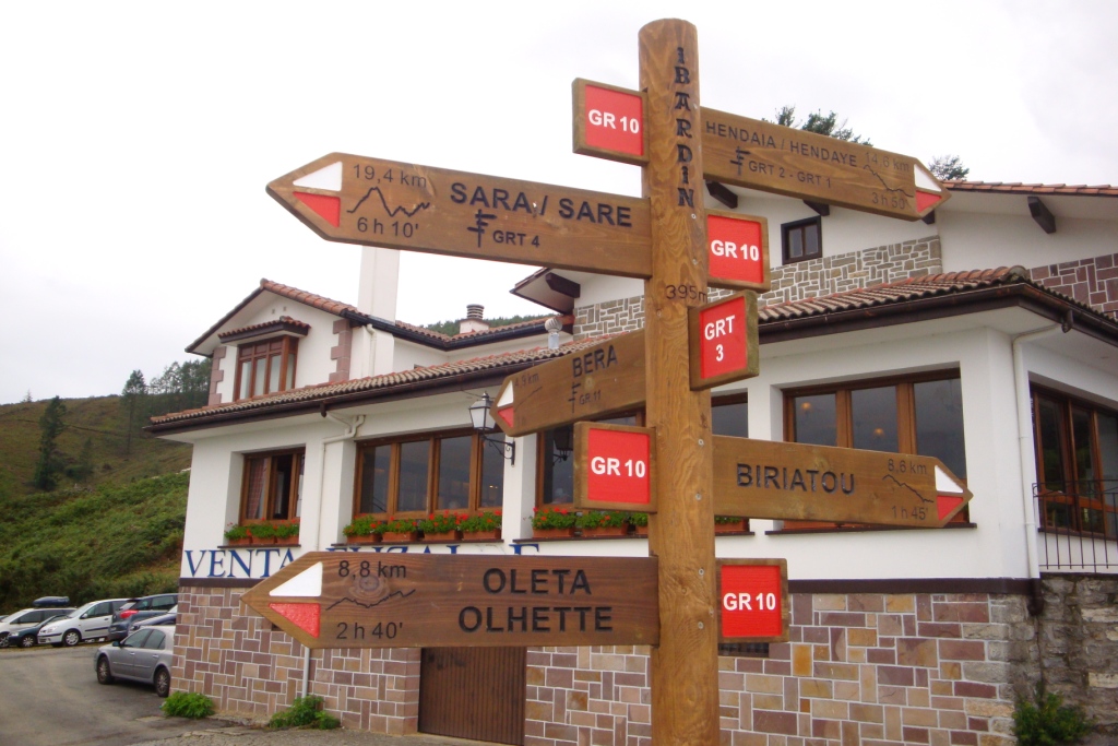

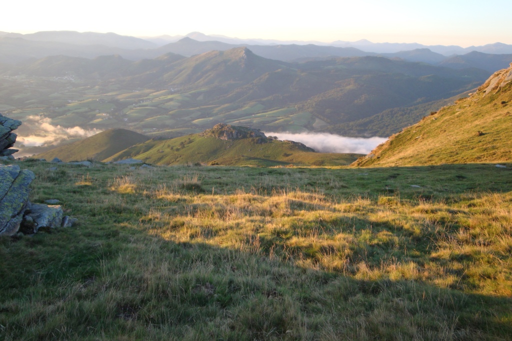
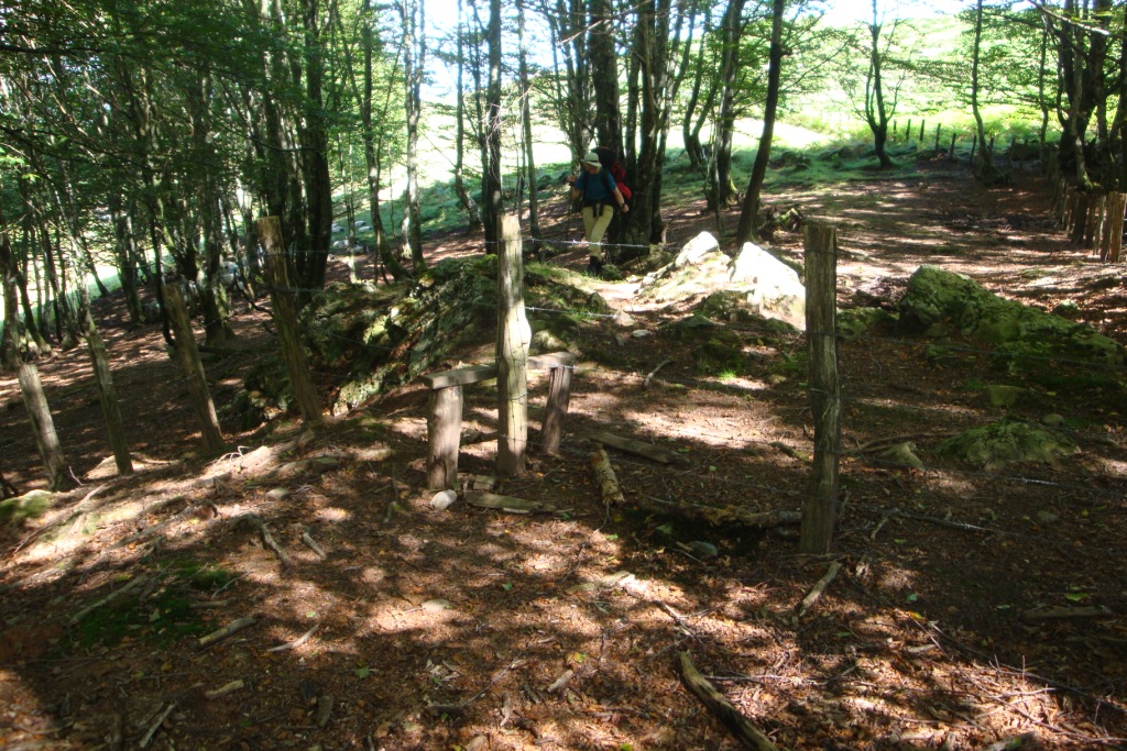
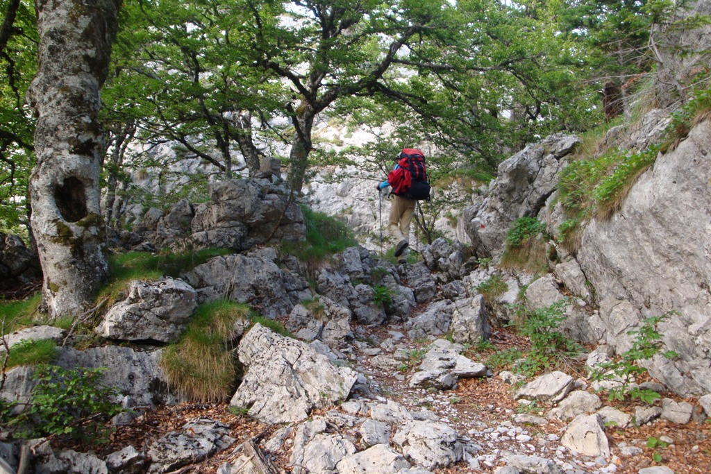
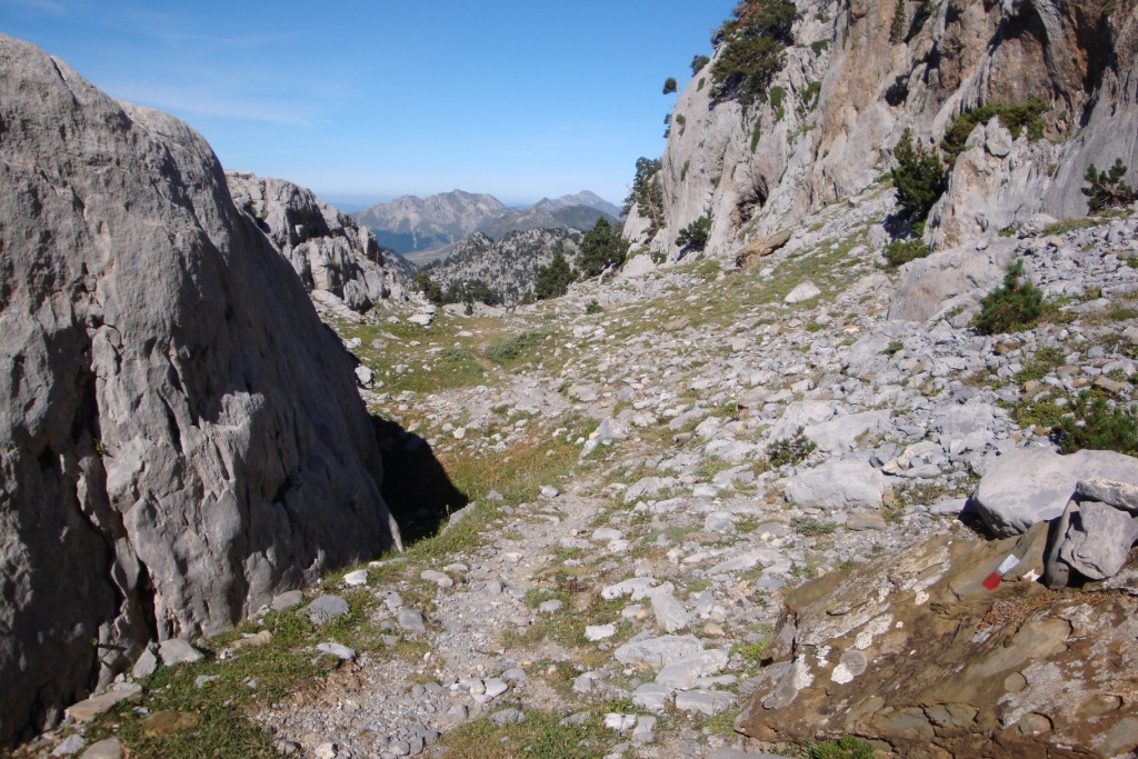
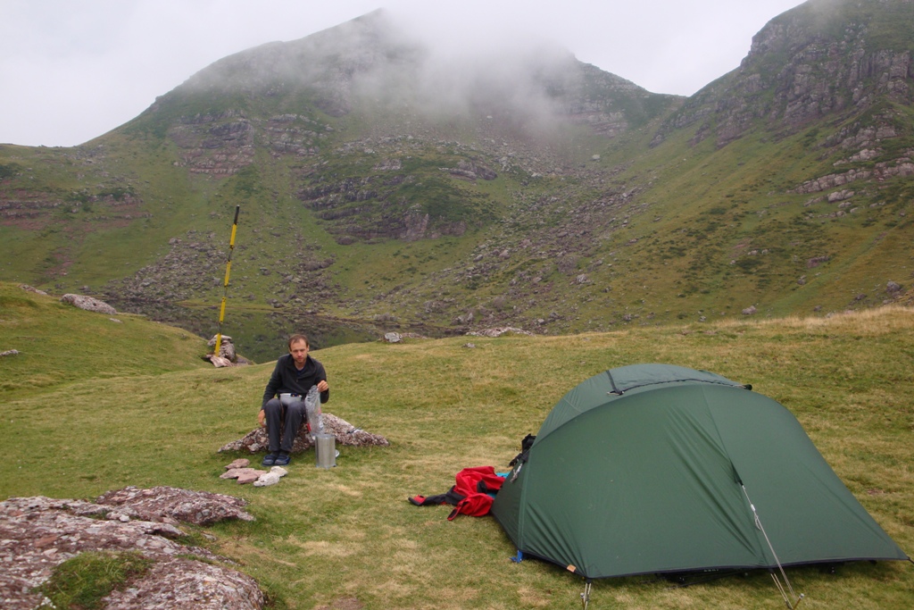
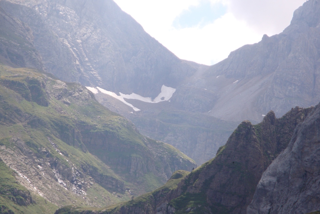
When we wake up it is raining a little, therefore we make a slow start of the day. After breakfast we break up, pay for the night and start walking to the spot where to route passes underneath the railway. From here we climb, first through a rather newly build suburb and later through more open land. Until col d'Osin we follow the old track of the GR10. Only a little before the col we take the wrong track; we take the track running to the top of Choldokogagna and not the one that runs along the Choldokogagna, so we make a few more meters up and down. After passing col d'Osin we have a lunchbreak. After lunch we continue our way to col d'Abardin. Just before this col it is very very busy with cars and people who want to visit the many shops, bars and restaurant along the road. At the col we leave the GR10 for a while and enter Spain. In Spain we pass several cols before we start the climb towards La Rhune. Just before the top of La Rhune at a small watersource we take a long break to prepare dinner. After dinner we continue slowly and we pass the top on the south side and a little east of the top we join a path coming from the top. Here we take a path that leads us along the border to border stone 27, where we pitch our tent.
Wednesday August 25th: La Rhune - Col de Bagatxeta
Statistics:distance: ca 20 km
up: 660 m, down: 760 m,
weather: sunny and very warm.
After a good breakfast with porridge, we break down our tent and pack our backpack. The day starts with a descent to col de Gonmendia, where we enjoy a short break on the stairs of a building. During the descent we notice that it is getting colder. When we left the overnachtingsplaats the temperature was nice warm, but the lower we get the colder it becomes. After the break we continue to descent to col de Lizuniaga. Although it is still early it is already getting pretty warm, so it promisses to be a hot day. At col de Lizarrieta we have an early lunch in the shade of a tree. From here we carry the water for the rest of the day and the first hours of tomorrow. After lunch we continue our way to col de Nabarlatz and col de Irazake. It is getting really warm, so we are glad with that this part of the route is shady. Except for the last climb of today. Because it is getting late, Edwin goes ahead and I follow in my own tempo. When I arrive at the col I install myself on the point where I think where the col is, while Edwin has installed himself on another col nearby and get additional water for the evening. After some time we start looking for each other with success. After all we can pitch the tent and have dinner before we go to bed. During the evening and night the temperature hardly drops.
Thursday August 26th: Col de Bagatxeta - col de Lepeder
Statistics:distance: ca 18 km
up: 760 m, down: 1060 m,
weather: start sunny and hot, later some rain.
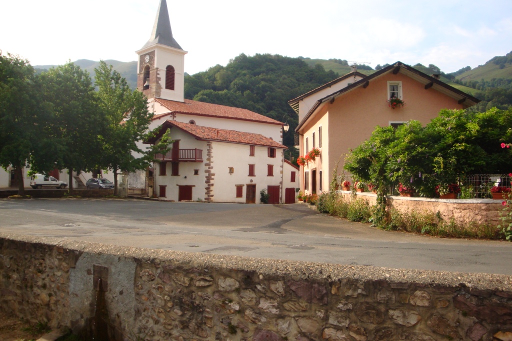

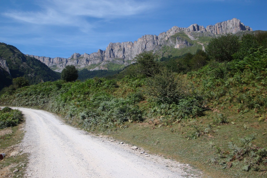
During the desent to Azpilkueta we notice we have left from the wrong col. That does not matter, the descent goes well and we arrive within 90 minutes in Arizkun. We have a break near the water source at the town hall. Here filled our bottles for the walk to Les Aldudes. After the break we start to climb to the top of Burga. The path is clear, only the last part to the top we have to find our own way. At the top we have lunch with a great view. After lunch we start to desent over a path on the border of the forrest. We desent to col de Basabar and then climb gradually towards the border. Here we take the wrong track, but we arrive in Les Aldudus without any problem only the desent is steeper than described in the book. In Les Adudes we have an extensive break with dinner at the water source with view on the church. After the break we slowly climb to col Lepeder. Here we pitch our tent.
Friday August 27th: col de Lepeder - Border stone 200
Statistics:distance: 22 km
up: 1060 m, down: 220 m,
weather: mostly cloudy with some showers in the afternoon.
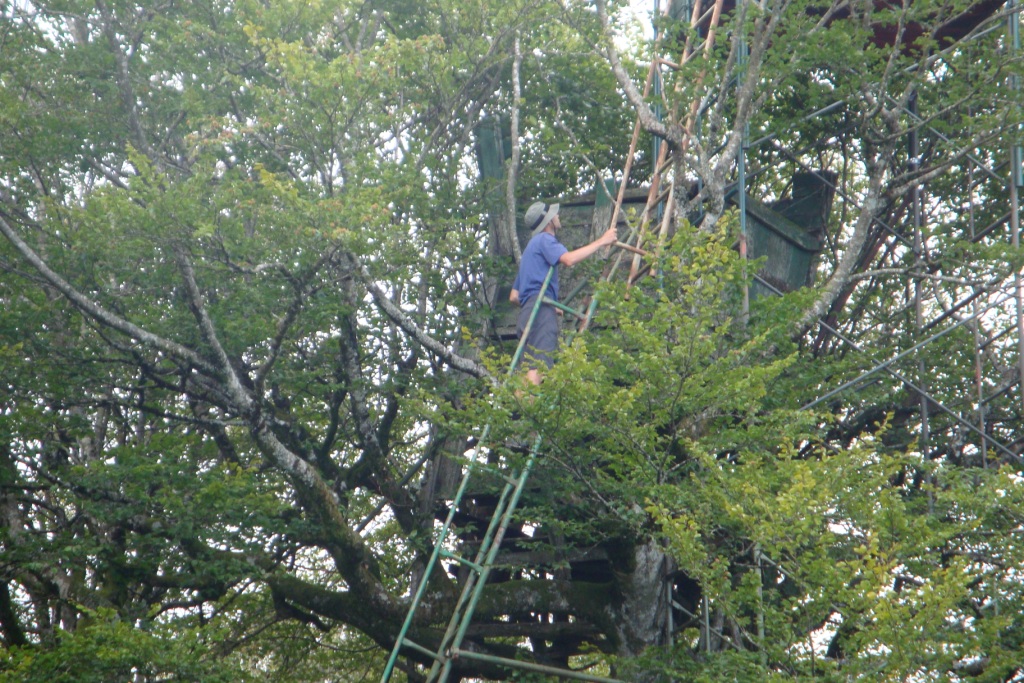
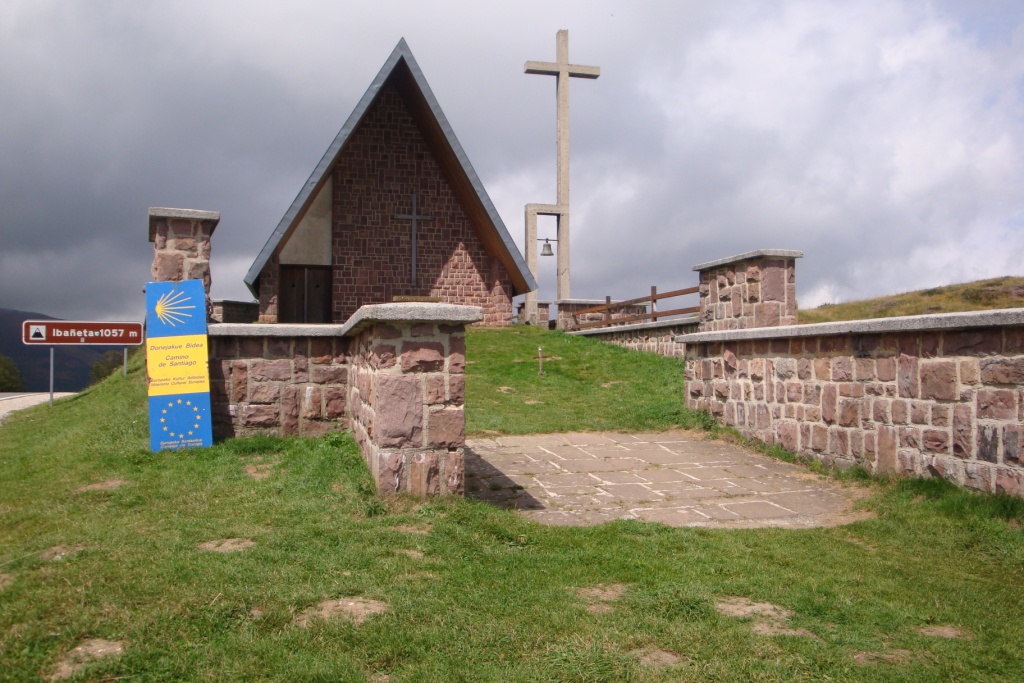
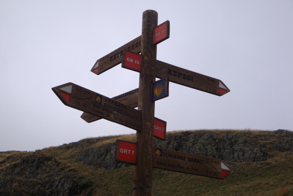

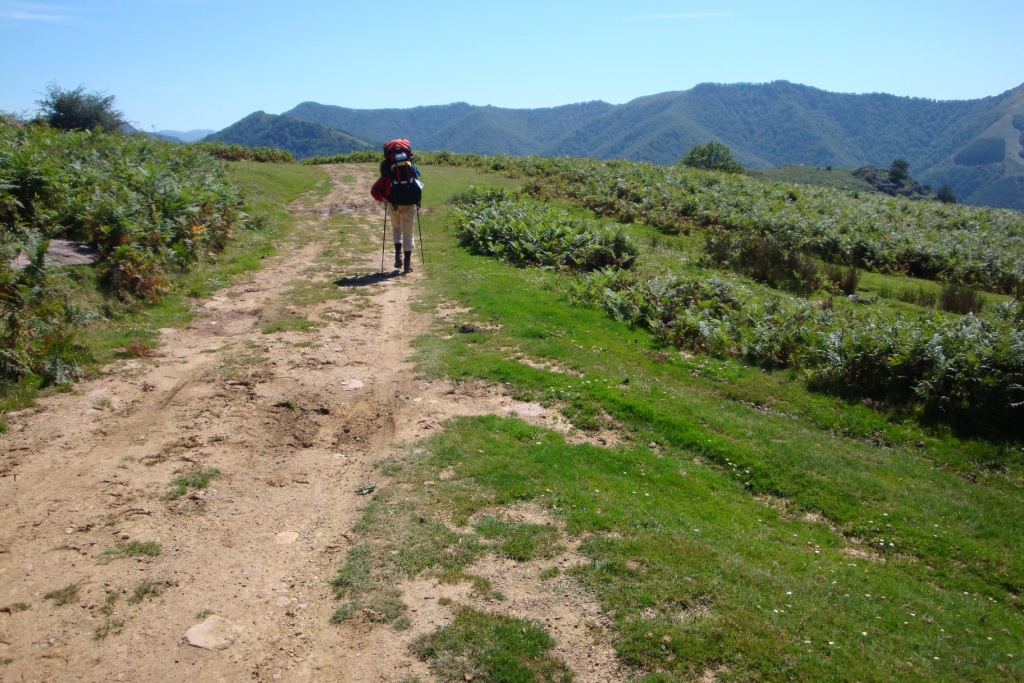
After breakfast we break up and continue our walk along the side of the Miguelartzaina. At a farm we turn left on a paved road and walk towards . Here we have to check the map to be sure we take the right track to col de Mizpiza. Here we follow a track that is never far from a paved road, which we later join at col de Teilary where we fill our water bottles at the water tap point. From here we walk over a tarmic road to col de Lindux where we have lunch. After lunch we continue in the direction of Roncevaux. Along the road hunting chairs are situated and Edwin can not resist it to take a look. Only when climbing the chair he notices that the last part of the ladder is tied with a piece of rope to the more stable lower part. Therefore he wisely decides to decend before the whole thing collapses including him. At col de Roncevaux we join the pelgimage route to Santiago de Compostalla. After a short break in the shade of the chapel at the col, we follow the pelgrimage route in opposite direction, therefore we see a lot of pelgrims who are on their way to Santiago. When the GR12 leaves the pelgrimage route we continue following the GR12 along the French-Spanish border. At border stone 200 we pitch our tent, or better I start pitching the tent while Edwin walks back to fontaine de Roland to collect water for the evening and tomorrow morning.
Saturday August 28th: Border stone 200 - free campsite near refuge San Pedro
Statistics:distance: ca 22 km
up: 610 m, down: 960 m,
weather: Fog
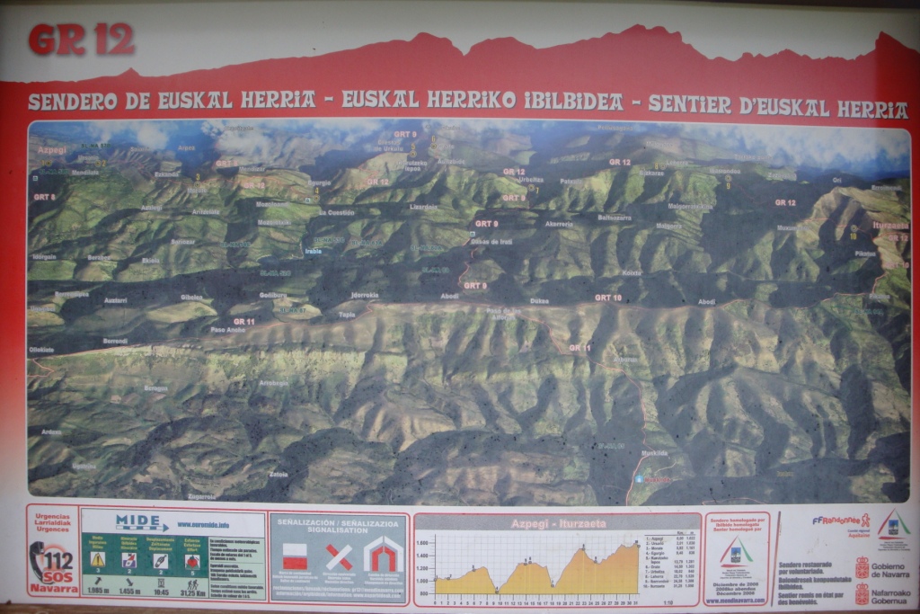
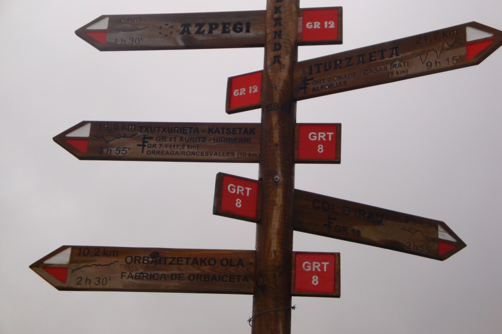
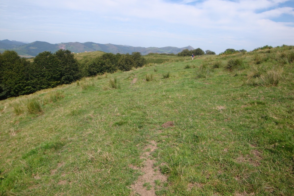
Next morning we are completely surrounded by the clouds, rain drops softly on the top of the tent and the wind blows viontly along the tent. After breakfast we break down the tent and start walking along the HRP and GR12 until a place called Azpeki. Because of the continueing fog we decide to keep on following the GR12 after studying the map and leave the HRP for a while, since the GR12 is very well marked and in the fog it is sometimes even hard to follow those. One disadvantage of the GR12 is that it so that new that it is not marked on our map, so it is a surprise where the route brings us. Roughly the route crosses Ursario and passes Mendizar on the south side. Later the clouds slowly start rising, so we can see more of the landscape where we are walking. Just before Mendizar we have lunch. After crossing the road near Egurguy we climb along the other side of the small top we reach the crete d'Urkulu and join the HRP again that brings us via Cromleche d'Occabe to refuge San Pedro. Here we fill our water bottles before we walk to a free campsite along the D18, which we remembered from last time we were here. We are not the only ones, actually it is quite crowded. Therefore we decide to pitch our tent along the other side of the streamlet.
Sunday August 29th: Free campsite near refuge San Pedro - Port de Larrau
Statistics:distance: ca 16 km
up: 1140 m, down: 540 m,
weather: Sun in the morning, later foggy and hard wind
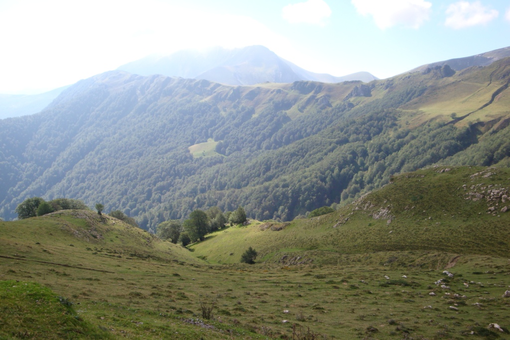
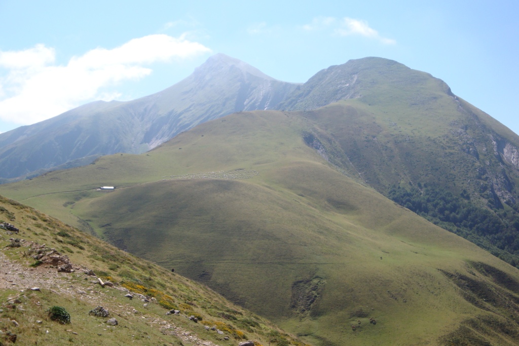

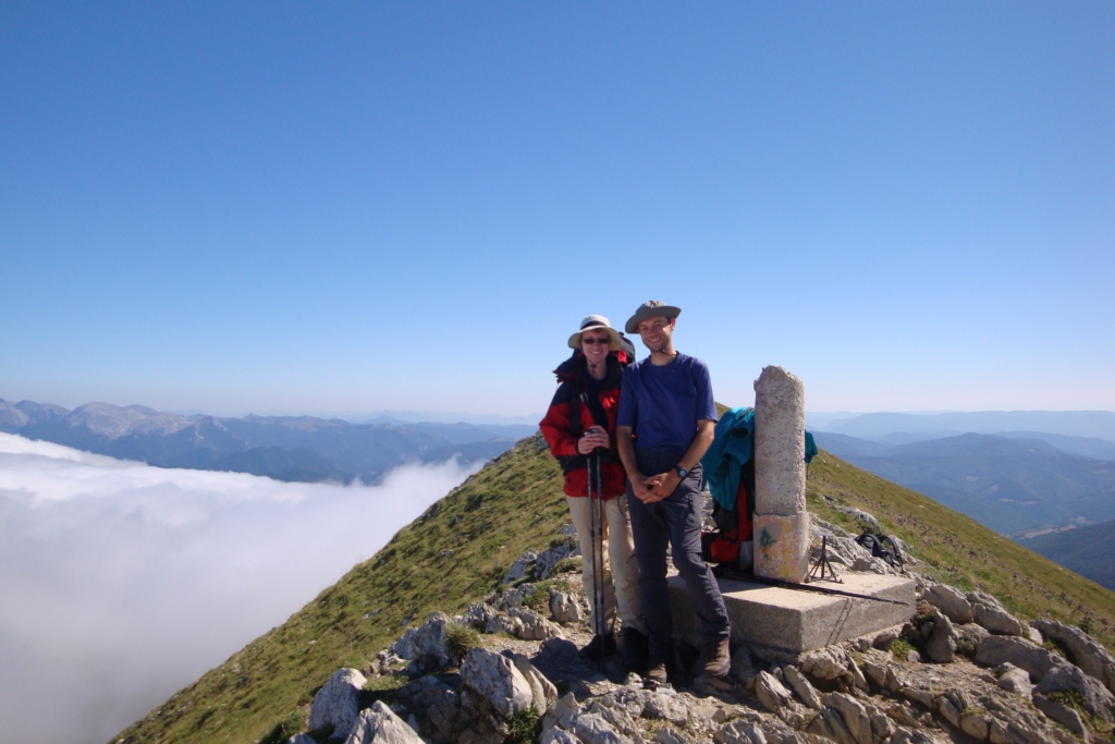
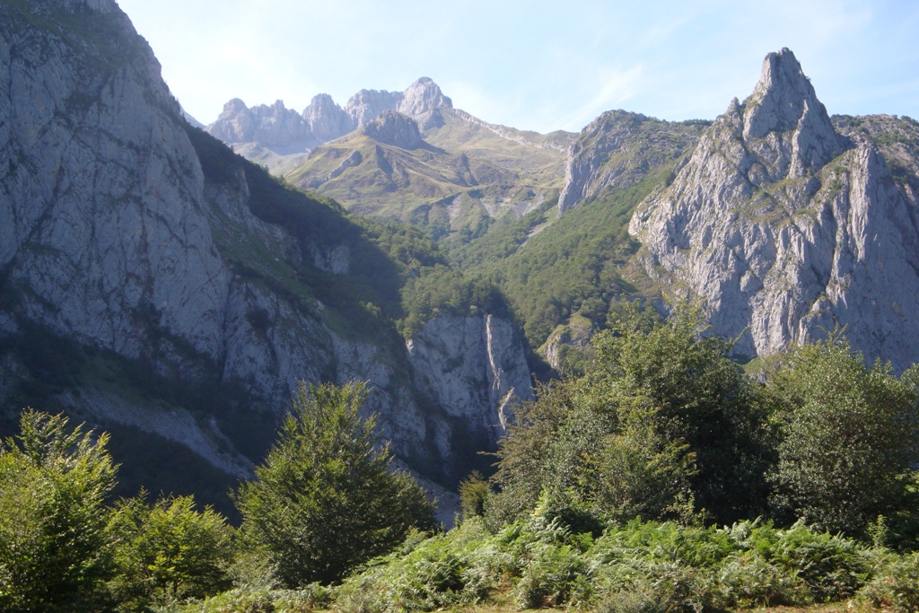
This morning we walk from the along the D18 and D19 to the first col near a lake. From here we follow the GR10 and climb to Iraty. Here we have our first break and after the break we walk along the road to col Lapatignégagne. Because the weather is good, we can see the route the HRP takes almost all the way to Pic d'Orhy from the col. Before lunch we walk to col de Tharta. During lunch the clouds begin to near. After lunch we climb towards cr&edakje;te de Zazpignan through the clouds. The ridge is narrow and a little windy. During the climb from the ridge to the Pic d'Orhy we came above the clouds and have a splendid view in the direction of Spain. In the direction of France only the higher pics are visible above the clouds. On the summit, there is no wind. After enjoying the view we descend to Port de Larrau. During the descent the wind rises again and by the time we reach Port de Larrau the wind blows quite strong. Therefore we pitch our tent in the lee of a hunting hut. During the night we can even in the tent feel the wind blowing.
Monday August 30th: Port de Larrau - near Puntal de la Cruz
Statistics:distance: ca 20 km
up: 540 m, down: 520 m,
weather: Hard winds and fog, later clearing

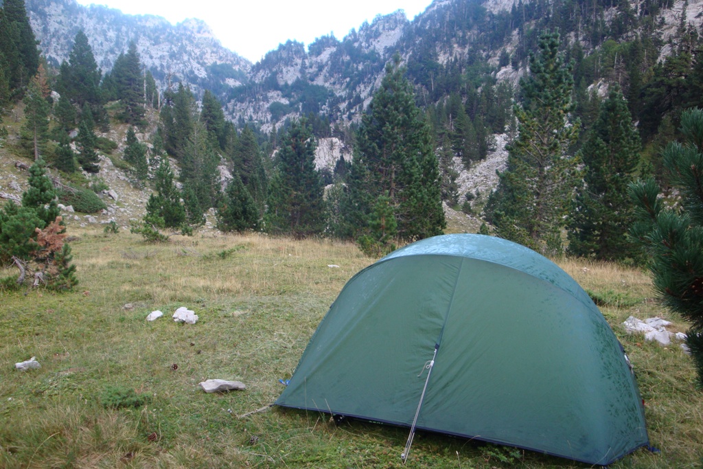
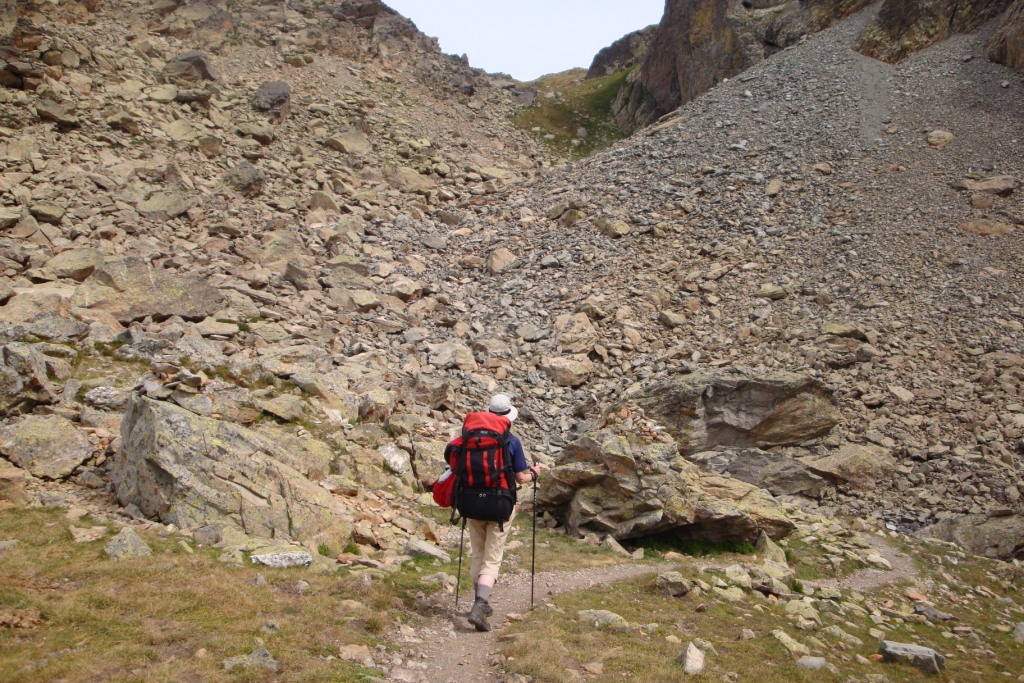
After a night with hardly any sleep due to the wind, the wind is still blowing brisk and there is fog. We tear down the tent and in the meanwhile it get damaged because we used the wrong pins to pin the inside tent. After a few steps along the ridge we decide to leave the HRP and take a half-paved road a little below the ridge. Here the wind is less brisk. After some time, the HRP as marked on our map also joins the road, while the HRP as described by Ton Joosten joins us at Col Uthu. Also at this col the GR12 joins the HRP again. After the col the clouds start to rise, so sometimes we can enjoy the view. By the time we reach refugio Beluga, which is closed several years ago, the weather is fine. After the refuge the HRP first passes a meadow and some wood. Since in the meadow cows are standing, this is not the place to pitch the tent. And even on the more open spots in the wood, we see a lot of cow dung. After the woods, we enter a weird, rocky landscape. This is also not a good place to pitch the tent, but after some time we have more luck because in a narrow valley there is some grass where we pitch the tent. From our tent we have a nice view on the col (1800 m) which we have to pass tomorrow.
Tuesday August 31st: near Puntal de la Cruz - Lescun
Statistics:distance: ca 16 km
up: > 440 m, down: > 1220 m,
weather: Cold at start, later nice warm with blue skies


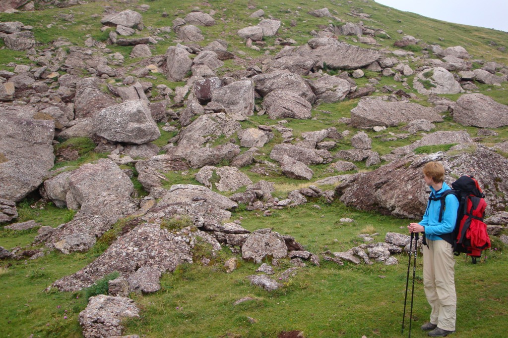
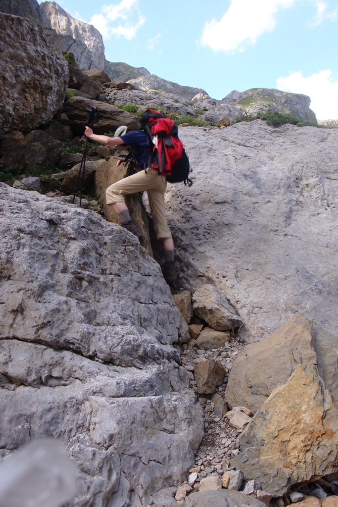
Today, when we wake up the tent is frozen. Fortunately, the water in the bottles and waterbag is not frozen. After we have gathered courage, we start with dressing ourselves, cooking porridge and making tea. After breakfast we tear down the tent - a very cold job - and start walking. In the first hour we suffer from cold hands, but once we are in the sun we get warmer and have to pull out our jackets and fleece sweaters. First we walk between the trees, later more in open land. The higher we climb the more bizar the landscape becomes. Because of the many "craters" it is not a steady climb but a climb with lots of ups and downs. A little before we reach col d'Insola we see two chamois and they see us. After col d'Insola, where the GR12 ends, we descend a little and reach col d'Anaye. After col d'Anaye the route steeply descends into Vallon d'Anaye. Just before we reach the valley we have to climb over a field of big blocks. At the bottom of the valley is a streamlet that then flows above the ground and then under the ground. Here we have our lunch break. During the break a blue butterfly keeps us company. After lunch we continue decending towards Lescun. Fortunately this part of the descent is more gradual until just before we reach the Sanchez Plateau. Here the path zigzags down along the mountain side. From here it is easy walking to Lescun, but what do our feet hurt now. At the campsite, just past Lescun, we notice that there is no shop on the campsite as mentioned in our booklet; there is a shop in Lescun. We are gratefull to a Dutch fellow camper who gave us a lift to the shop in Lescun and back.
Wednesday September 1st: Lescun
Statistics:distance: 0 km
up: 0 m, down: 0 m,
weather: sunny, getting clouded during the day with a thunder shower in the evening
Today we wash some cloths, moslty socks and then relax and enjoy the sun.
Sunday September 2nd: Lescun - Refuge d'Arlet
Statistics:distance: ca 17 km
up: 1250 m, down: 70 m,
weather: clouded and later fog

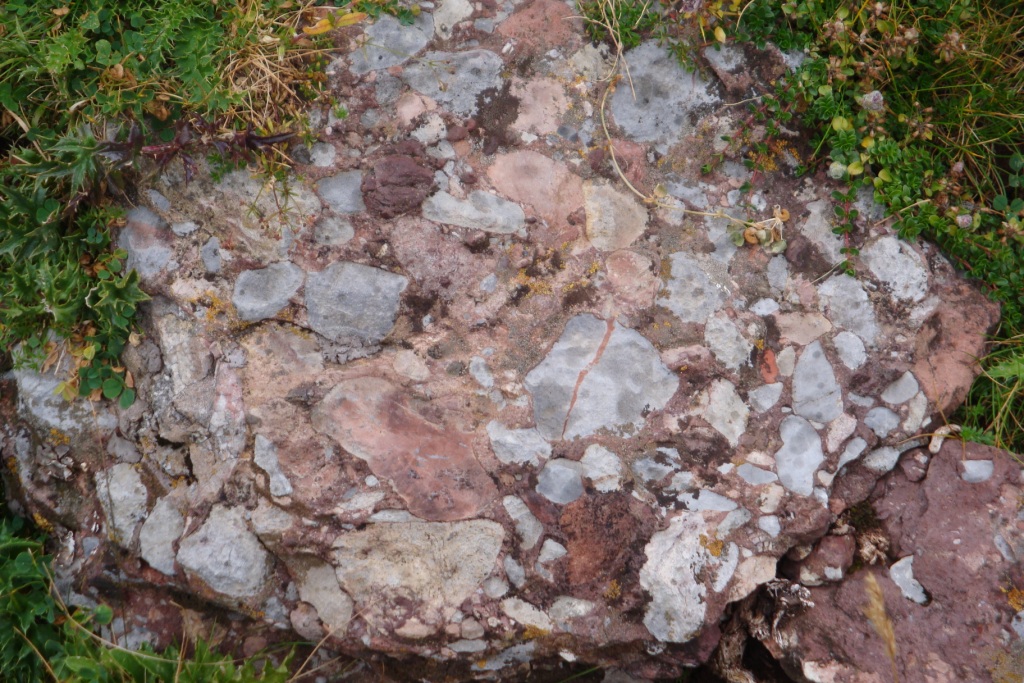
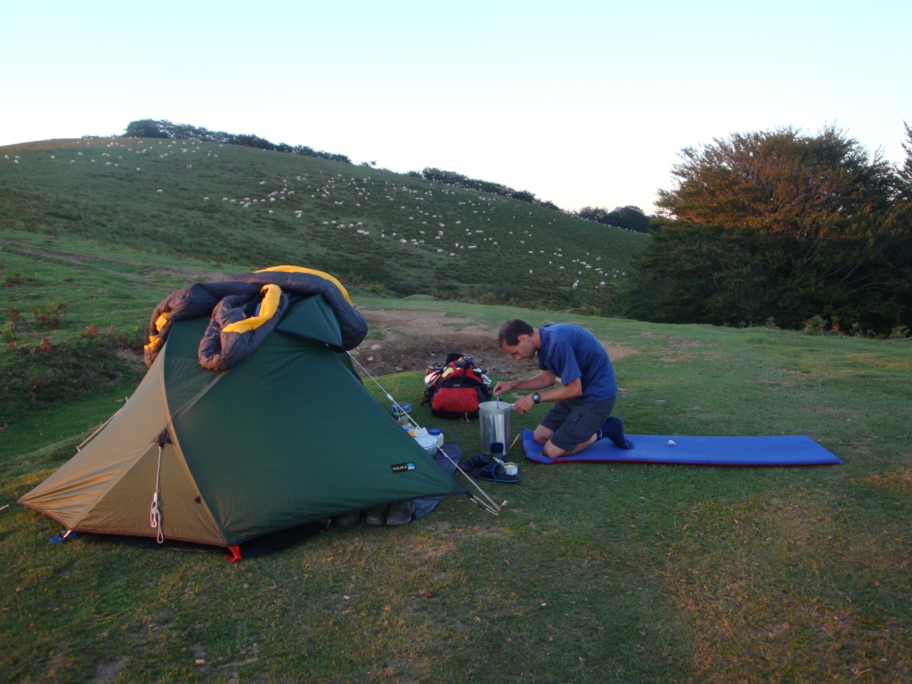
At 6:30 we were awakened by the alarm. Outside, it is still dark while we get dressed. After breakfast with porridge and tea, we tear down the tent and pack our backpacks. At 7:45 we leave the campsite for another walk. The route - first a paved road until Pont Labrénère then gravel and grass - climbs gradually towards Col de Pau, where we arrive before lunch time. The day of rest has reenergised us. At the col a nice view was promised, only we are surrounded by clouds, so we have no view. Before we have our lunch break we continue to the next col - the real climbing for today is over by then. After lunch we continue and follow the "Chemin de la Libertè" - a path that slightly descents and ascents - till Col de Saoubathou. From here we walk under neath the pic de Rouge through a field with reddish concrete-like stones; these are small stones glued together to big stones with red mortar. After this field we climb towards Refuge d'Arlet. Near the refuge there are a lot of small froglets. Between lac and refuge d'Arlet we pitch our tent. Here also we see many froglets jumping.
Monday September 3rd: Refuge d'Arlet - valle d'Ascún
Statistics:distance: ca 22 km
up: 850 m, down: 900 m,
weather: Blue skies with some minor clouds

After a restless night due to several barking dogs, we prepare ourselves for the new day. One of the barking dogs was the dog that watched over the refuge who barked very loud to our tent once. After yesterday's fog, this moring the sun is shining. Soon after leaving our bivouac place, we reach de col and descend to the cabin. Unintentionally we take the car track and not the route down, making that we descend too far. As soon as we notice our mistake we walk back to the parking lot. From there we take a path that leads us to the HRP. Back on track follows a steep climb towards Pas de l'Echelle. Just before the col we even need to climb a small ladder. After the col we descend towards Ibón d'Estanés. Here we have todays lunch break. After luch we continue over a sloping path that enters the forrest and descends towards Gave d'Aspe. After crossing the streamlet, the path continues to descend before it starts to climb to Col de Causiat, that seems endless. After the col we descend to Candanchú over grassland with large block and later over bare ski slopes decorated with lifts. Candanchú appears to be an abandonned ski resort, that changed into a contruction site during the summer. We see some shops, but they are all closed, so we are glad that at Col du Somport there is a possiblity to buy a few things. After the col we continue to Astún, also a construction site. According our map we need to follow the streamlet from Ibón de las Trunchas for a short while, only we can not find the track toward the streamlet coming from Ibón del Escalar so we end up on the newly build ski slopes above Astún. Because we already climbed a reasonable number of meters, we decide to look for a suitable place to pitch the tent and find an alternative route to the Lacs d'Ayous for the next day.
Tuesday September 4th: Valle d'Ascún - D934/Caillou de Soques
Statistics:distance: ca 15 km
up: 880 m, down: 1480 m,
weather: Sunny

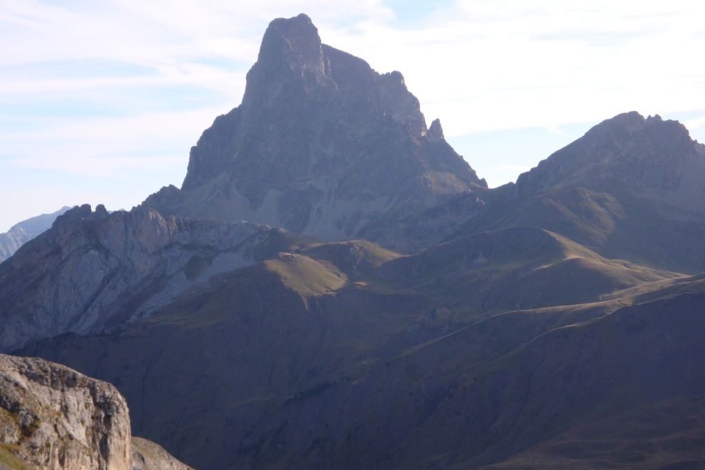
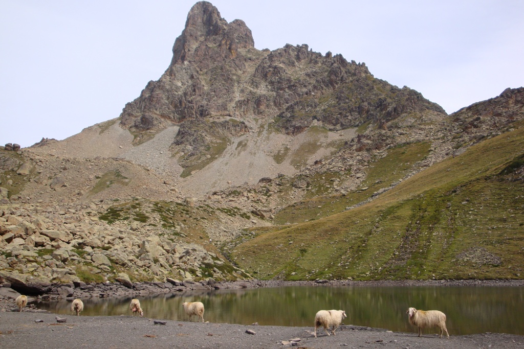

This morning we start with a steep climb through grass land from our campsite to the path that comes from Ibón de las Trunchas and that we follow to Col d'Astu. Here we have a good view on pic du Midi d'Ossau. Furthermore we notice that the path so clear on the map, is not clear at all in real. So we have to find our own way down to cabane de la Hosse, but the further we descend the more cattle tracks we see. After the cabin our path joins the HRP again. Soon after we reach the HRP, the route steeply climb to cabane de Peyreget. At Lac de Peyreget we have our lunch break. During this break a flock of sheeps descends from col de l'Ou. A lot of sheep come and drink some water at the lake. After lunch we continue with the final part of the climb to col de Peyreget that partiallyis covered with larger and smaller blocks. The first few meters of the descent to Refuge de Pombie is not very clear, so on good luck we descend to the lower visible path that leads us to Refuge de Pombie. Here we have a break before we continue to descend in the direction of the D934. At the refuge we fail to choose the right track; we first descend via a cattle track, then on good luck we walk to the HRP. At cabane de Puchésux we take again the wrong track but via a cattle track we rejoin the HRP again. At the end of the afternoon we reach the parking lot at Caillou de Soques at the D934. From here we hitch hike to our car at Laruns. After doing some shopping in Laruns we drive to Les Eaux Bonnes where we stay at the campsite Iscoo for another 3 days before we drive home.
To be continued

Last modified July 2012