West Highland Way: Our story
Part 1: Milngavie - Tyndrum
Prologue
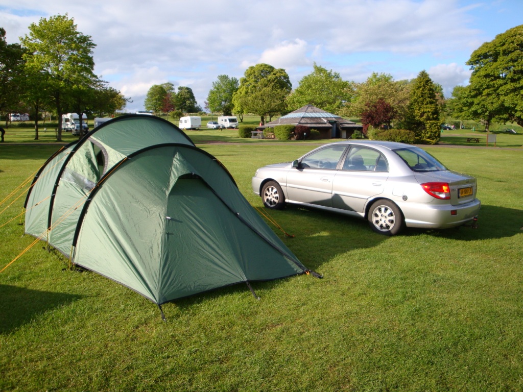
Our vacation to Scotland had a false start. When we went to bed for a few hours sleep before we leave to Dunkerque for the boat to Dover, I forgot to set the alarm. We were lucky that I awoke at 1 am, only one hour late. So we jumped out of bed and in the car that was already packed. On the road it is quite, so we arrive in time for the boat. On the boat we snooze a little. From Dover we drive to Stevenage to pick up a new backpack for Edwin. After this small break we continue our way to Edinburgh, where we arrive at the campsite around 7 pm.
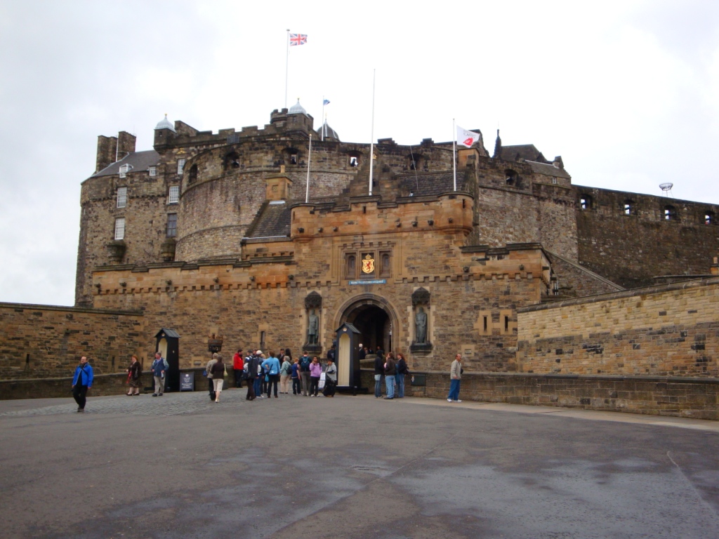
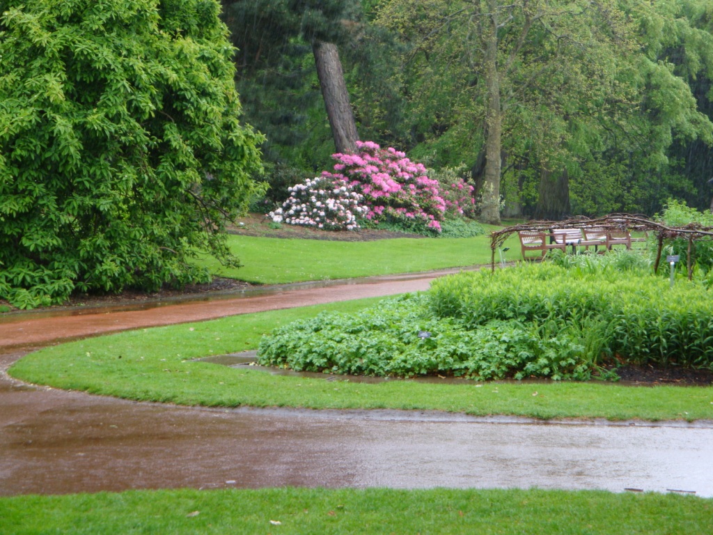
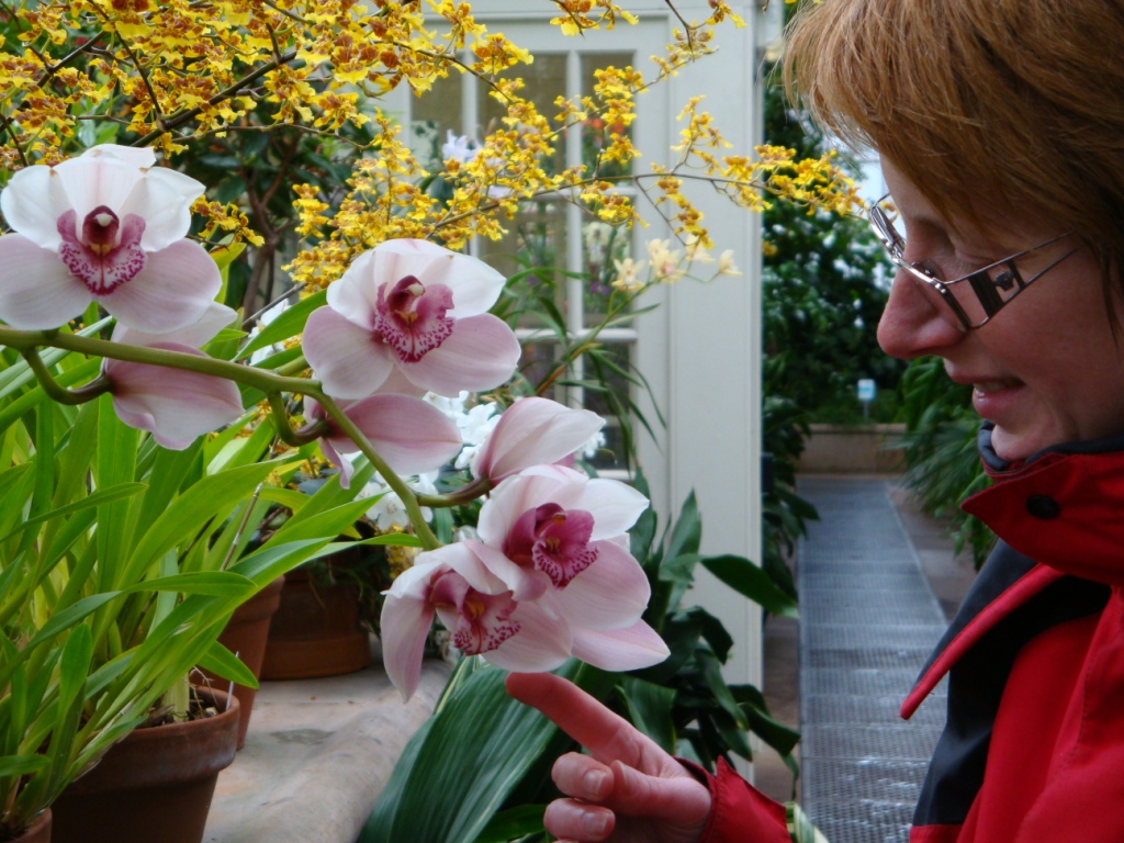
Next day we go to the centre of Edinburgh. We visit the old centre, the new centre and the botanical garden. Here we can shelter for the rain in one of the greenhouses with beautiful flowers.
Tuesday May 19th: Milngavie - Drymen
Statistics:distance: 19 km
up: 210 m
weather: showers with some sun.
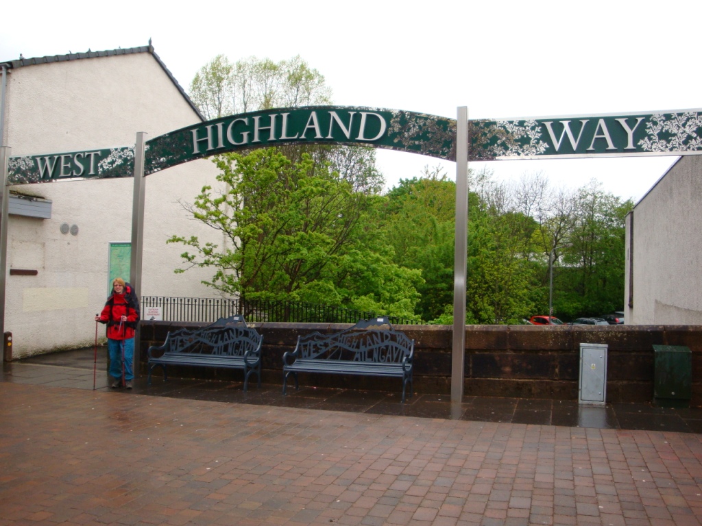

We start the day with a drive from Edinburgh to Milngavie. We park the car on a carpark near the railway station. We wait in the the car till the rain stops. Since the weather forecast promissed more showers, we put on our rain cloths before we start the walk.
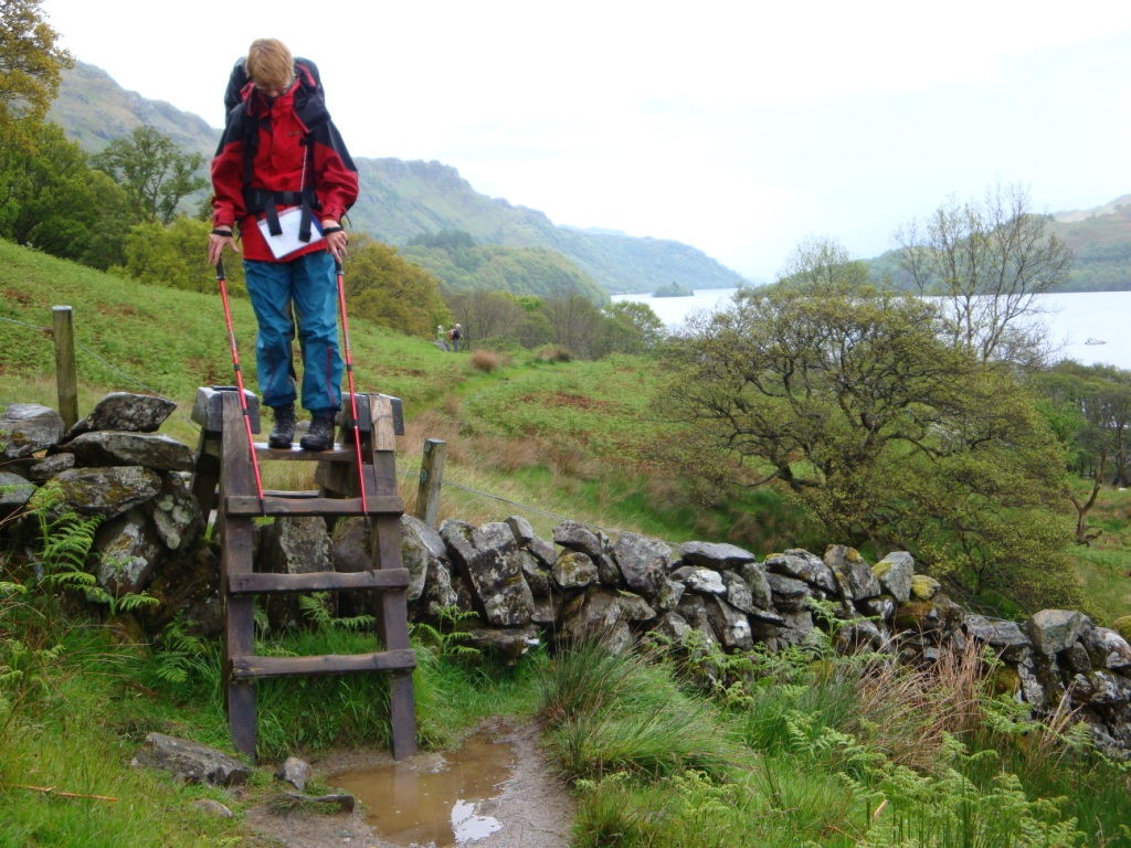
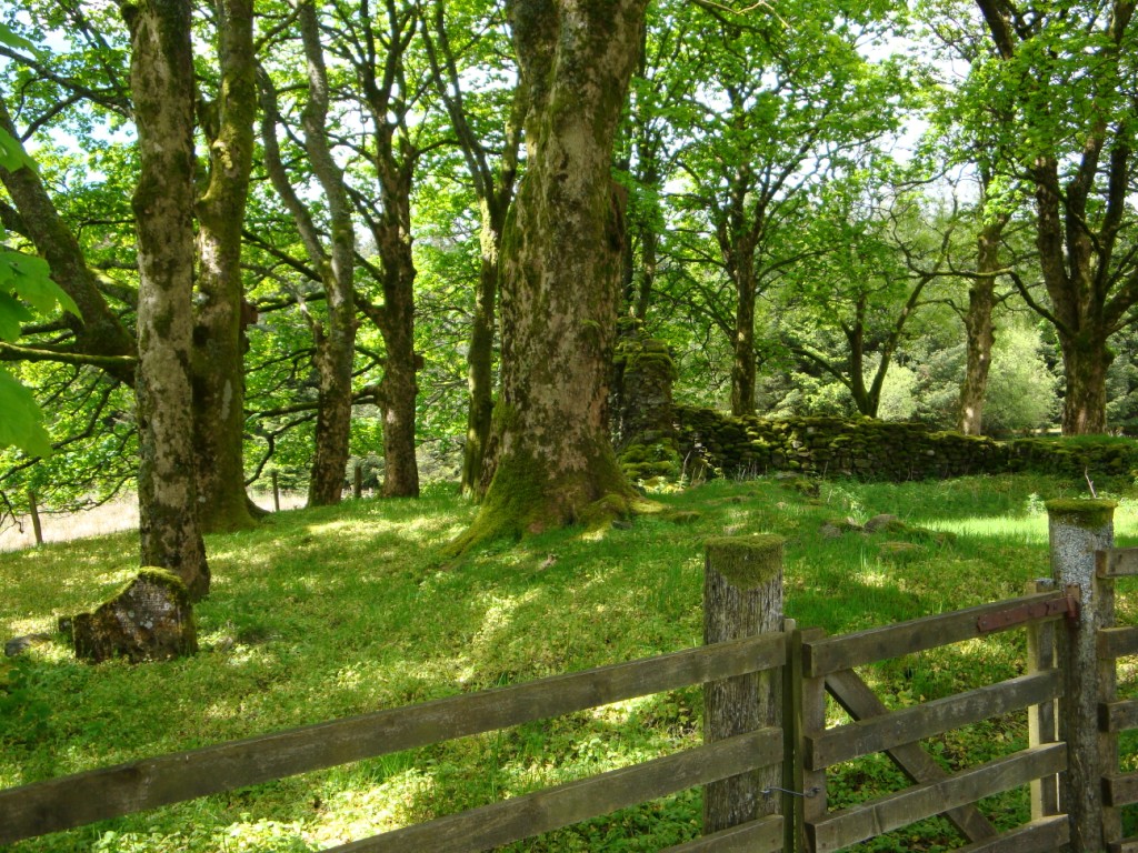
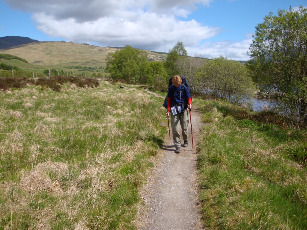
From the car we walk to the railway station. Here we have to walk an alternative route, because the underpass is closed. In the centre of Milngavie we see the obelisk and a huge metal arch, the official start of the West Highland Way. After the centre, we cross a carpark and walk into a parklike environment. The path goes slightly up and down. It is a pleasant walk despite the weather. We have lunch near the B821. After lunch we continue. The landscape continuously is changing. After a bridge we come on a small straight path, a former railway track. Aside the path there is a dyke with inside a pipeline that transports water from Loch Lomond to Edinburgh. After passing some houses, the path crosses the dyke and later the A81 twice before joining the small road between Gartness and Drymen. The road that rises and falls, is tough for our tired feet. At Drumquhassle Farm we have a last break and fill our waterbottles and watersack. When the road makes a sharp turn the route changes the road for a grassy path though a meadow. Here we find a nice spot out of sight of the route to pitch our tent. On the other side of the fence we have a nice view on several lamb from our tent.
Wednesday May 20th: Drymen - Rowardennan
Statistics:distance: 23 km
up: 550 m
weather: showers and some sun shine.
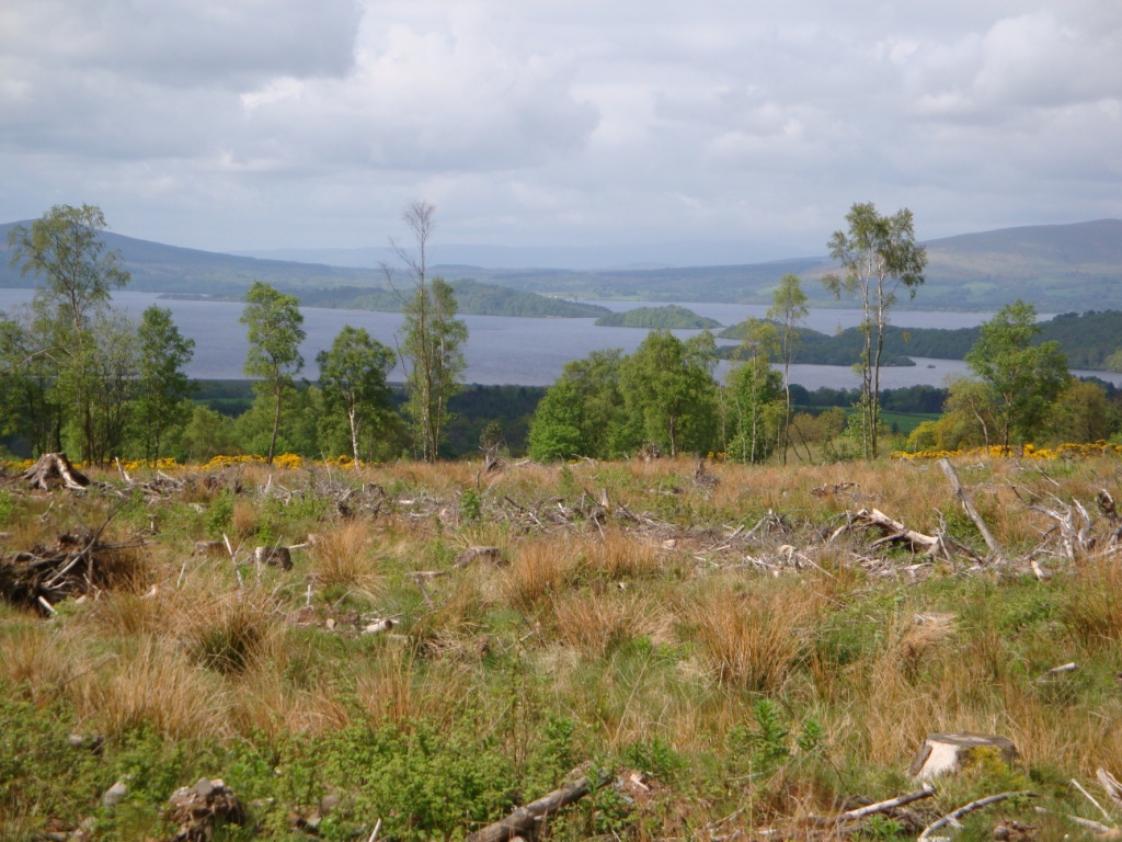
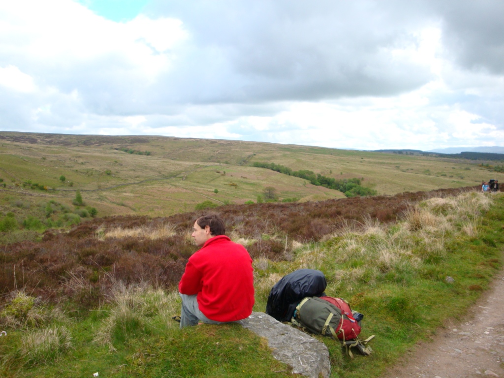
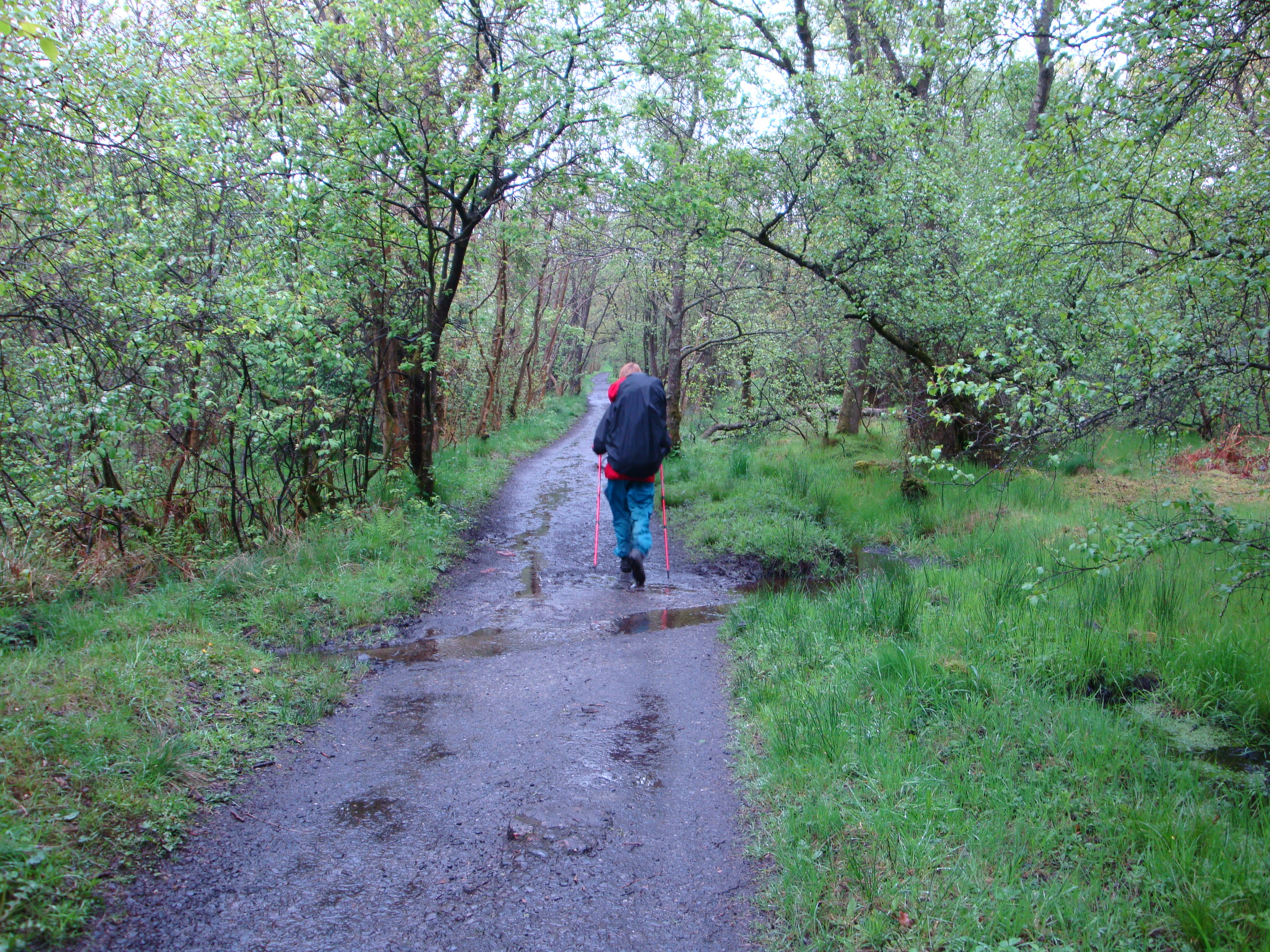
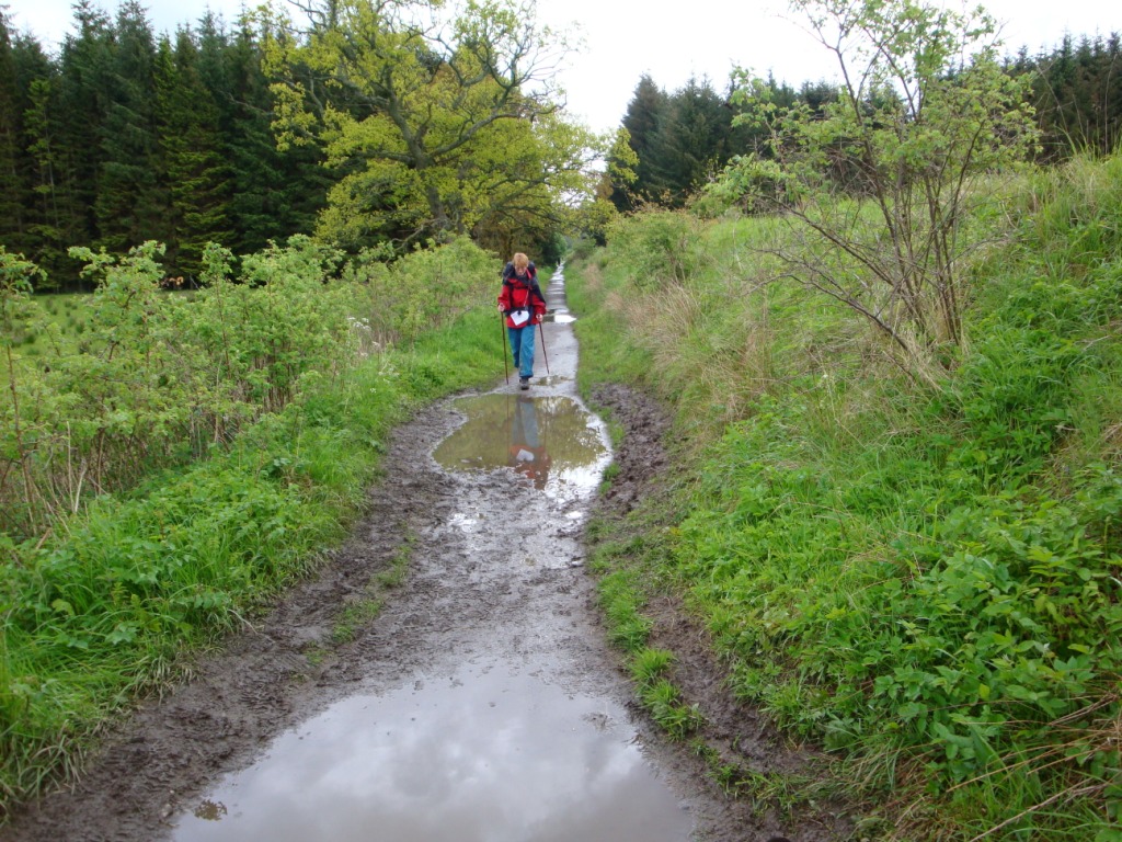
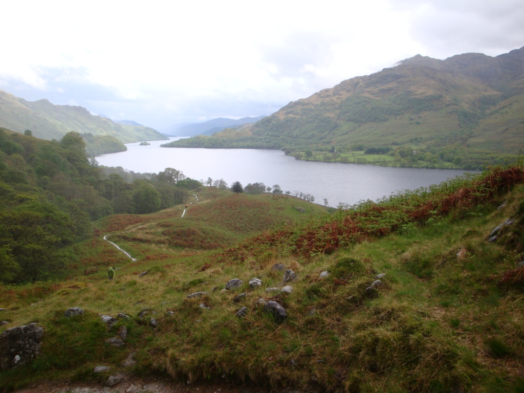
When we awake it is dry, but not for long. During breakfast with porridge, we have another little shower. When it is dry, we tear down the tent, pack our backpack and continue our way along the great paths of the West Highland Way. The route joins the A81 for a while. Then the route goes through open field towards Garadhban Forest. In the forest the route goes along a broad track. As soon as you enter open field again, you see Loch Lomond for the fist time - a great view. Next to Loch Lomond you also see Conic Hill; in our eyes less impressive. The path continues in the direction of Conic Hill. Before it starts with the real "climb" on the Conic Hill, the path descends towards a bridge. During the climb we take a small break and enjoy the view over the hills. Near the top of Conic Hill it is windy and really cold, therefore we decide not to climb to the top of Conic Hill but to decend directly. Because the track is getting narrower and narrower we doubt if that is the west highland way, so we return to the highest point where we were sure of to be on the route. After taking another good look at the map, we take again the same track down. During the desend the path gets paved, just like in the Polish Tatra, and at the steepest part of the descend the pavement changes into a sand path which will turn in a slippery mud path when it gets wet. By the time we reach the carpark of Balmaha it starts to rain, therefore we have our lunchbreak at the busstop. After lunch we continue towards the bank of Loch Lomond, which we follow, more or less, for several miles. During the plesant walk along the bank the path ascends and descends a little. The last part towards Rowardennan youth hostel is long and killing. At the youth hostel we get some water for the night. Hereafter we continue for a while till we reach a free campsite at the bank of Loch Lomond. Here we pitch our tent in the neighbourhood of two other tents.
Thursday May 21st: Rowardennan - Beinglas farm
Statistics:distance: 22 km
up: 465 m
weather: several showers.
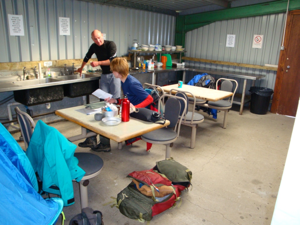
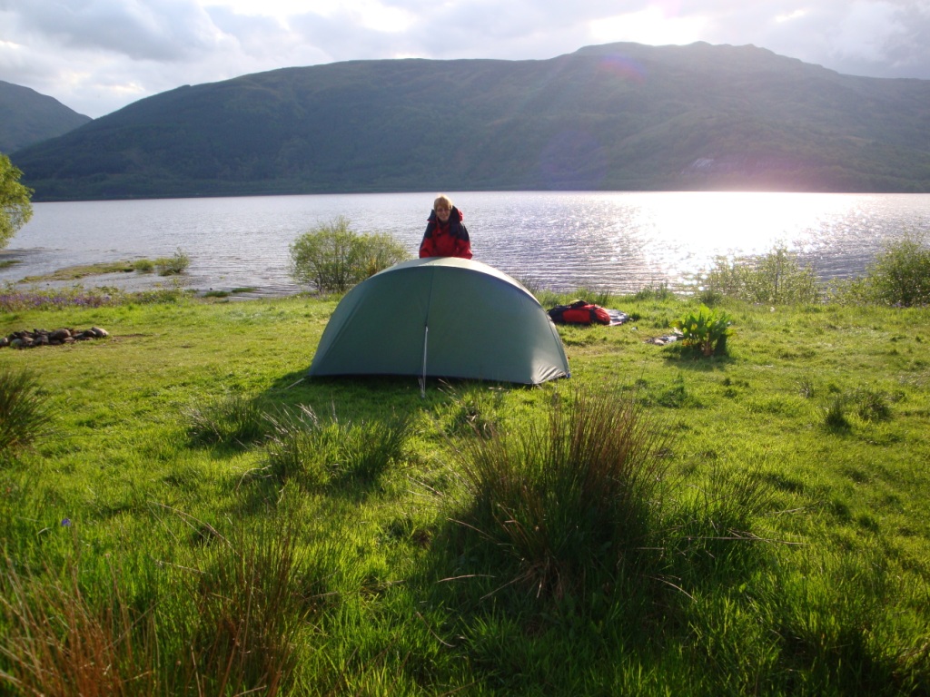
Next morning the sun is shining behind the clouds and it is dry. When we open the tent we see some clouds and a lot of tiny flies who prefer to fly around your face. So we quickly tear down the tent and start walking to get rid of these nasty animals. Near the lodge we take the higher main track. Till the Inversnaid hotel we make good progress. From here the weather is getting worse and the path somewhat more commanding. At lunchtime we are really lucky. Shortly after we decide to stop for lunch it stops raining and by the time we have finished lunch it starts to rain again. When the path leaves the bank of Loch Lomond to climb a little we think that we are at the end of Loch Lomond, but during the desent towards the bank we notice we are wrong. But then again the path starts to rise and this time we really leave Loch Lomond behind us. Between the lake and Beinglas we have a final break. At Beinglas farm we first wait in the shelter for the rain to stop before we start looking for a place to pitch the tent. The campsite is very wet of all the rain, so it is hard to find a drier spot. After pitching the tent we return to the shelter for some reading and cooking diner. In the meanwhile the tent is getting dry on the inside.
Friday May 22nd: Beinglas farm - Tyndrum
Statistics:distance: 23 km
up: 600 m
weather: start rainy later really sunny.
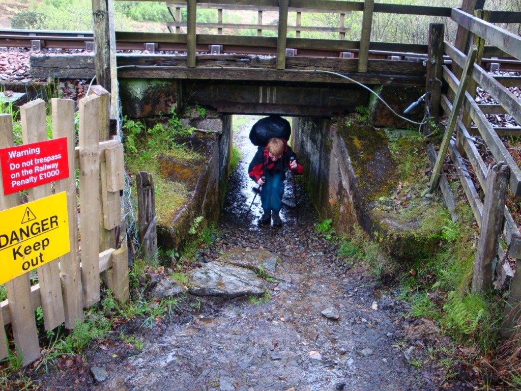
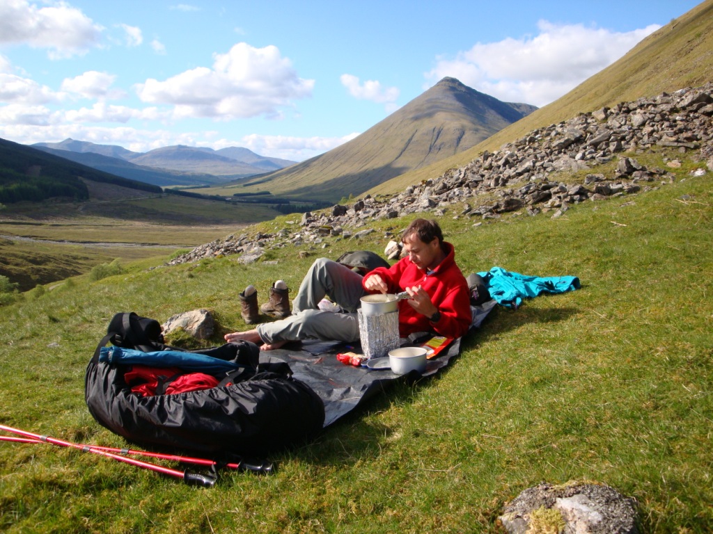
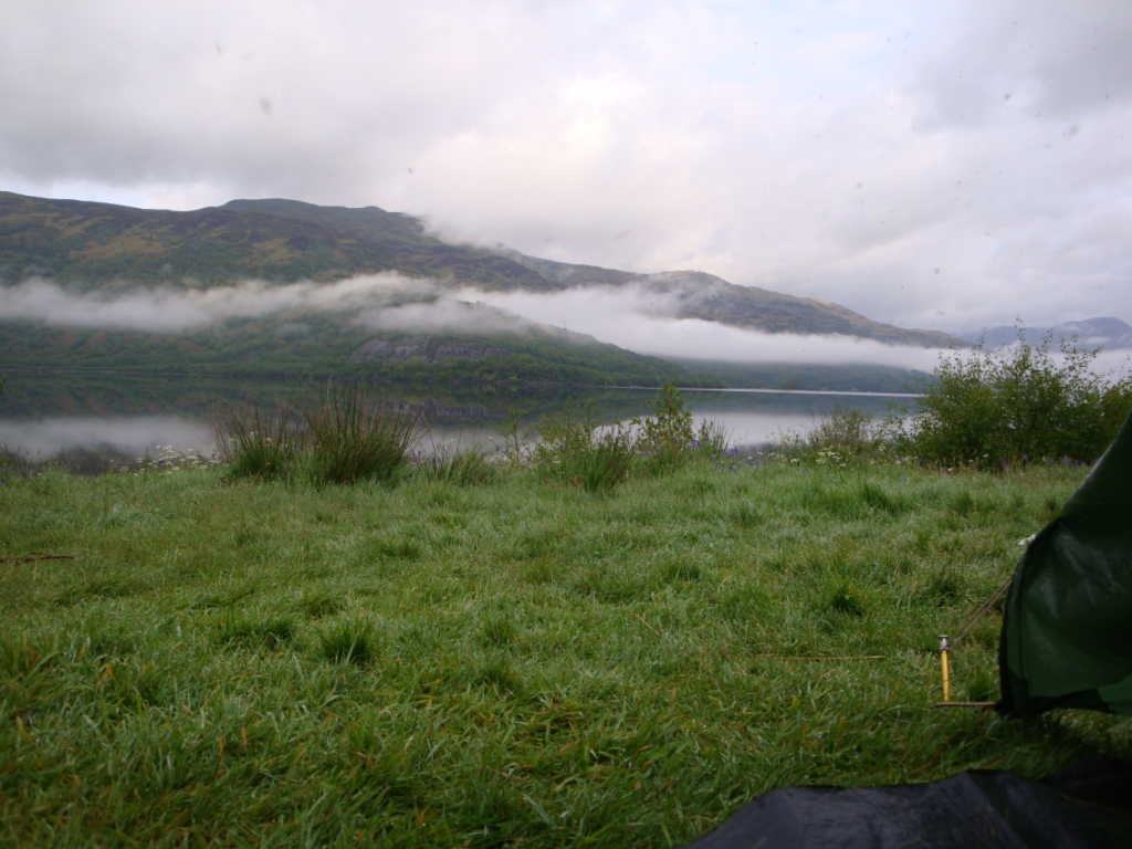
When we awake it is raining. After breakfast we start to pack our backpacks and finally break down the tent. Luckely it stopped raining for a while. We leave the campsite and start to climb up. Soon it starts to rain again so we have to stop to put the rain covers on the backpacks and I have to put on my rain trousers and Edwin his poncho. After this break we continue up and the down towards a farm and bridge. After crossing the river, the WHW follows the river for a while untill it meets a tunnel that crosses the railway. A sign near the tunnel mentions "Mind your head". Since the tunnel is that low, you are forced to almost walk as a frog when you are carrying a big backpack like we do. After crossing another tunnel that crosses the A82, the WHW meet a millitary road that climbs gradually. During the climb it is still raining. During a short dry moment we have a small break before continuing. the climb toward the woods west of Crainlarich. As soon as we enter the woods we turn left in the direction of Tyndrum. The route continues climbing. After some nice walking, in the meanwhile it stopped raining and the sun appears, the route descends rather steeply through the forrest towards a railway bridge and a bridge in an old glen road. Here we have lunch in the sun. During lunch we dry the tent in the sun. After lunch we cross the A82 and continue walking through completely different landscape towards the anchient priory of St. Fillian and then towards Auchtertyre Farm. Here they breed sheep that are a crossing of the typical Scottisch sheep and the Dutch sheep originating from the island Texel. After the farm the route returns at the river Fillian and continues in the direction of Tyndrum, a very pleasant walk. In Tyndrum we buy some fruit and deserts and at the petrol station we fill up our water bottles for the evening. After eating the deserts we leave Tyndrum and we walked till the route starts to descend towards Auch Gleann. Here we find a nice spot for the tent. Before we pitch the tent we cook dinner and enjoy the sun and view over the glen and towards Beinn Dorain.
Continued in part 2

Last modified December 2009